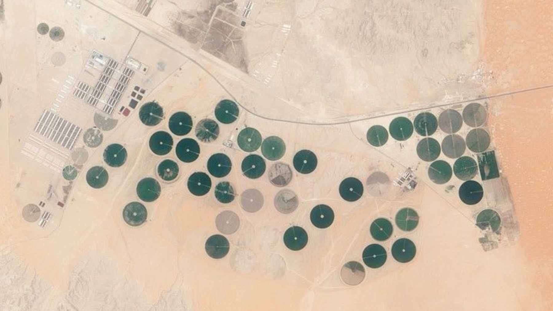
NASA astronauts just turned a patch of Saudi desert into a global talking point after photographing a string of perfect green circles in the sand that look almost too precise to be real. From orbit, the scene near the town of Jubbah resembles a necklace of crop circles tucked against a dark mountain in the middle of a sea of dunes.
The image is striking, but it is not a mystery of aliens. It is a story about water.
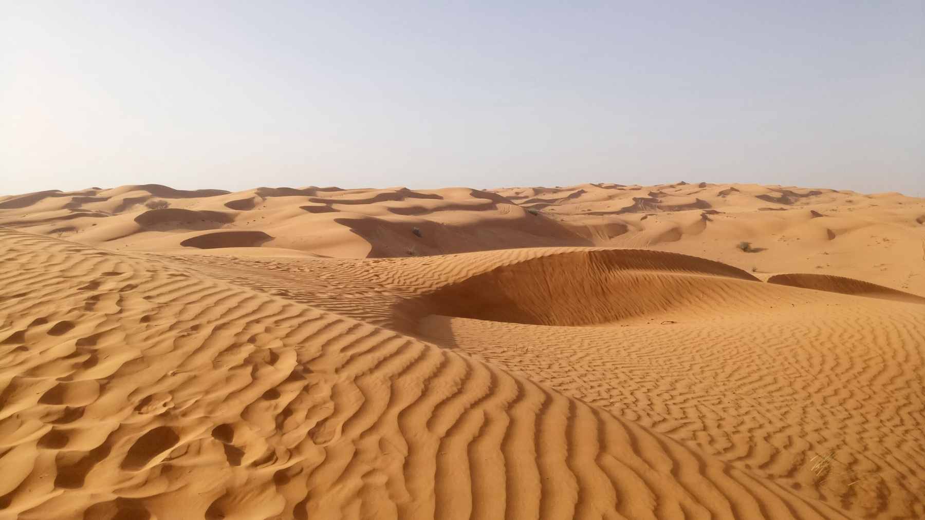
A new photograph released by NASA shows the oasis of Jubbah in northern Saudi Arabia as viewed from the International Space Station. The town sits in the middle of the Nefud Desert where annual rainfall is only a few centimeters and summer heat can easily push past 110 degrees Fahrenheit.
Yet from space, the landscape is dotted with vivid green disks roughly one kilometer wide. These circles are center pivot irrigation fields that draw on underground water to keep crops alive where almost everything else is sand.
Jubbah’s ancient lake basin and underground aquifers
The location is not random. Jubbah occupies the basin of an ancient lake that once filled this low-lying area when the Arabian climate was far wetter than it is today. That paleolake dried up thousands of years ago, but its water did not simply vanish.
Part of it seeped into the ground and became trapped in buried aquifers that still feed wells beneath the town. The former lakebed now lies hundreds of feet below surrounding dunes, turning Jubbah into a kind of natural catchment that has supported people and animals since at least the early Holocene.
Guarding the western edge of the oasis is Jabal Umm Sinman, a dark, rocky massif whose name translates as “two camel hump mountain.” Rising to about 4,100 feet above sea level, it disrupts the strong west-to-east winds that normally push dunes across the Nefud.
That wind shadow keeps sand from burying the town and its fields and helps explain why this particular spot became, and remains, farmable ground in a hostile region.
Center pivot irrigation fields visible from space
The green circles themselves come from a very modern technique. Center pivot systems pump groundwater from a well at the middle of each field, then swing long sprinkler arms in slow circles over the crops. It is a highly efficient way to control where every drop lands.
In satellite and astronaut photos, this precision shows up as perfect disks, some bright green with actively irrigated crops, others brown or tan while lying fallow.
There is a catch. Much of the water feeding these systems is what hydrologists call fossil water, stored during cooler, wetter periods including the last Ice Age. Studies of similar agricultural projects in northern Saudi Arabia suggest that this deep groundwater is only weakly replenished, if at all, under today’s climate.
Some experts estimate that it may only be economical to pump for a few decades on human timescales before costs and declining levels force a rethink.
For people on the ground, the circles are fields that put food on tables and jobs in a remote region. For anyone who has watched a high summer water bill climb, the idea of farming with an underground savings account of ancient freshwater may sound both ingenious and a little risky. You can withdraw for a long time. You cannot do it forever.
UNESCO World Heritage rock art near Jubbah
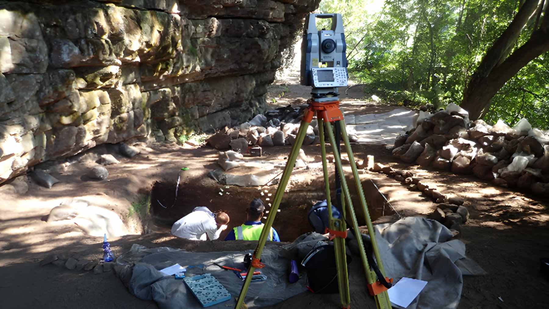
Jubbah also carries a much older human story. The cliffs around Jabal Umm Sinman are covered with thousands of rock carvings of people, camels, ostriches and other animals, some believed to be at least 10,000 years old and now listed by UNESCO as World Heritage.
From prehistoric hunters to modern farmers using orbital images and precision sprinklers, the same natural advantages have drawn people back to this basin again and again.
In the end, those bright green circles in the Saudi desert are more than a viral photo. They are a living case study in how technology lets us push agriculture into extreme environments and how long-buried water quietly underwrites that choice.
The official statement was published on NASA Earth Observatory.