The Arctic is warming, sea ice is shrinking, and rival powers are moving in. In the middle of that slow-motion shift, the United States has quietly launched a very different kind of surveillance project.
The Frosty program from the Defense Advanced Research Projects Agency aims to turn the chaotic radio noise of the northern skies into a tool for tracking low-flying aircraft and slow ships far beyond the horizon.
According to the official program notice, Frosty will focus on the harsh radio environment above the Arctic rather than trying to escape it. The goal is to build software that can spot targets at least 75 kilometers away and do it with a probability of detection higher than 90 percent, even when the aurora is roaring overhead.
A new front in the High North
Why invest so much effort in a region most of us only see on weather maps? Because climate change is literally changing the map. Shrinking sea ice is opening seasonal shipping lanes along the Russian coast and across the Arctic Ocean, cutting travel time between Asia and Europe by days or even weeks.
Those shorter routes are already being tested by Chinese container ships and Russian operators. Melting ice is also exposing new energy and mineral deposits, especially around Greenland, which has become a focal point of great power competition.
For the United States and its allies, that means more traffic near critical sea lanes and more room for quiet military moves by Russia and China. Yet existing radar lines like the North Warning System are built for high-altitude bombers, not drones or patrol aircraft hugging the surface to stay below the radar horizon.
At the same time, Europe still lacks a unified military force. It has to lean on Nordic members and the wider North Atlantic Treaty Organization framework.
The recent entry of Finland and Sweden into the alliance effectively pulls almost the entire Arctic coastline into a single security space, but it also raises expectations that this space will actually be watched. Frosty is meant to help fill that gap.
Why the aurora blinds traditional radar
The northern lights look calm from a cruise ship deck or an Instagram post. From a radar engineer’s point of view, they are closer to a thunderstorm that never ends.
The culprit is the ionosphere, a region of the atmosphere stretching from roughly 80 to more than 500 kilometers above the surface. Charged particles from the sun slam into this layer and stir it up. Radio waves that pass through are scattered, bent, and randomly modulated.
Conventional radar likes clean conditions. It sends out a tidy pulse, waits for the echo, and calculates where a plane or ship must be. In the Arctic, those pulses often come back smeared and distorted. The result can look like a screen full of ghosts where real targets disappear inside the clutter.
That is especially true for high-frequency, over-the-horizon systems and for satellites that rely on stable paths through the upper atmosphere.
Turning noise into a signal
Frosty’s big idea is simple to describe and hard to execute. Instead of fighting the messy ionosphere, the program wants to exploit it.
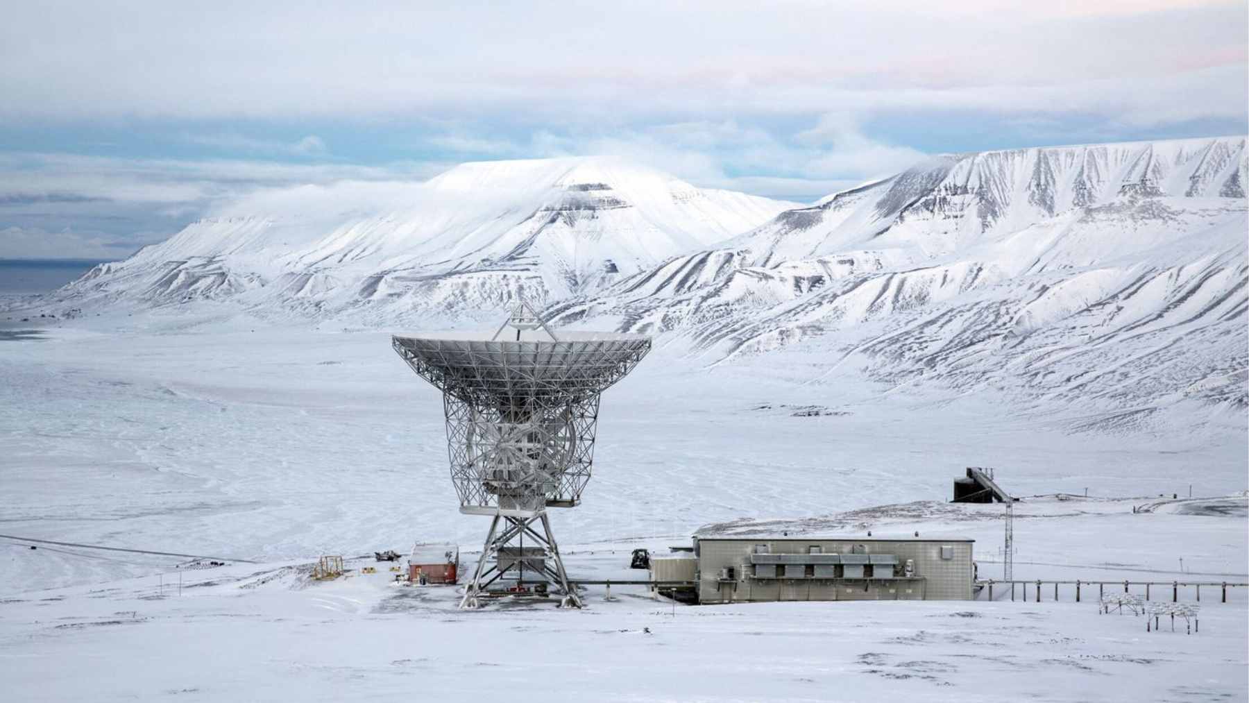
The concept uses forward-deployed receiver arrays and illumination that has bounced off the disturbed Arctic ionosphere. That illumination could come from powerful transmitters such as the High frequency Active Auroral Research Program facility in Alaska, or from natural ambient radio noise.
By the time those signals reach a target and then a receiver, they are noise-like. Frosty challenges industry teams to build advanced algorithms that can dig through this apparent noise, find hidden correlations, and reconstruct reliable target tracks.
The program metrics call for turning at most 90 seconds of raw data into a track that meets the range and detection requirements.
It is a software-heavy effort. Over roughly 33 months, Frosty is divided into an 18 month phase centered on algorithm and concept development and a 15 month phase focused on integration and field testing.
Testing is expected to use aircraft and instrumented vessels as targets in central and northern Alaska, including locations such as Point Barrow and the Poker Flat Research Range, where auroral disturbances are particularly intense.
What is really at stake
On paper, Frosty is about exotic signal processing. In practical terms, it is about who sees what in a part of the world that is opening faster than most policy debates.
If it works, the technology could give the Pentagon and allied militaries a better picture of low-flying aircraft, drones, and slow ships using new Arctic routes. That matters for classic national security reasons, but also for search and rescue and for responding to accidents such as oil spills in waters that are still poorly monitored.
The flip side is that this is still a research gamble. The same physics that has tormented radar operators for decades will not suddenly become easy. Frosty leans heavily on advances in computing power and statistical methods, yet there is no guarantee that messy real-world data will behave as kindly as models on a lab server.
At the end of the day, Frosty is a sign that the Arctic is no longer treated as a distant ice cap but as a live theater where climate, commerce, and security collide. Whether the program turns polar radio noise into a clear tactical picture or mostly into lessons learned, it shows that the race to understand the High North is already under way.
The official program notice was published on DARPA’s Frosty program page.